|
|
 |
|
| Page 3 |
|
 |
|
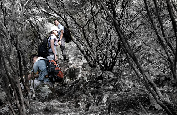
| It must had been an unnerving descent because I couldn’t recall going through this… |
|
|
|
|
 |
|
| Taking a break at 9am after 185 minutes of hike. Ricky couldn’t speak anymore while Ghee Beng and I were smiling silly. The man behind the camera? You have to give him credits for his persistance to shoot every single scene he came upon. By now the rest of us have chucked our cameras away in our bags and focused intently on the hike. |
|
|
|
|
 |
|
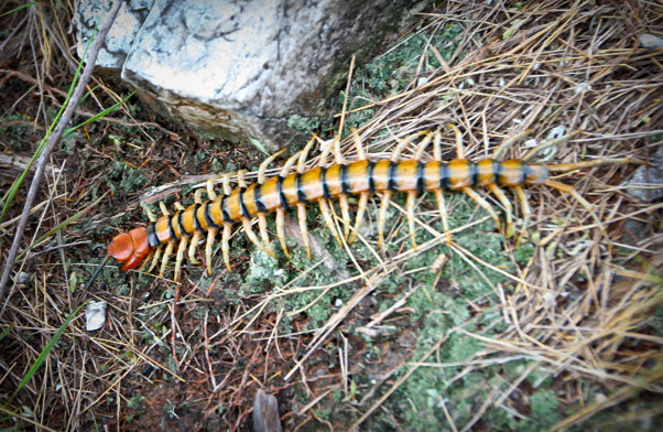
| The resident ‘ranger’ of Bukit Tabur - a centipede that looks like a shrimp. Its extraordinary size and peculiar appearance caught the attention of every hiker who passed by, so it ended up becoming the resident ‘model’, enjoying 10 minutes of fame. |
|
|
|
|
 |
|
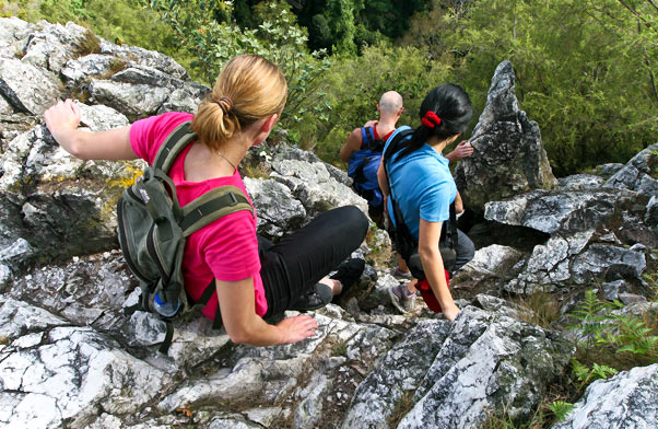
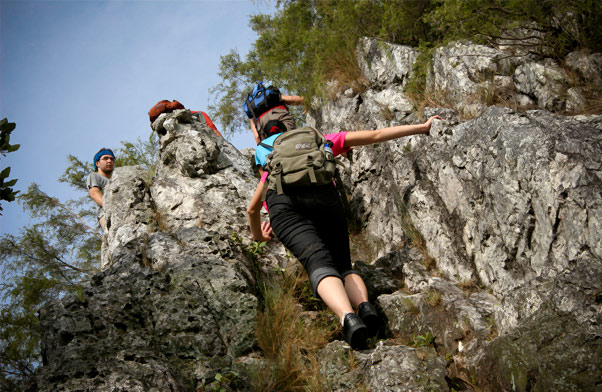
| The already dangerous rock cliff would be even more dangerous if it rained the night before, because it would be wet and slippery. |
|
|
|
|
 |
|
| It is easier to hike early in the morning when the sun is not too hot. Good time for photography too. After 10 a.m., it becomes scorching hot and unbearable at the exposed peaks, and you’ll be inclined to utter these foreign words - !@#@$%* |
|
|
|
|
 |
|
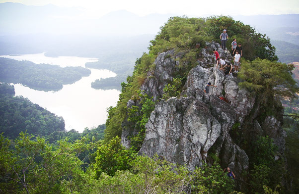
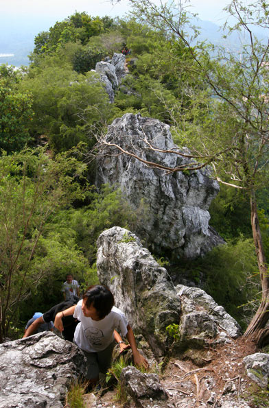
| A perspective of several peaks. |
|
|
|
|
 |
|
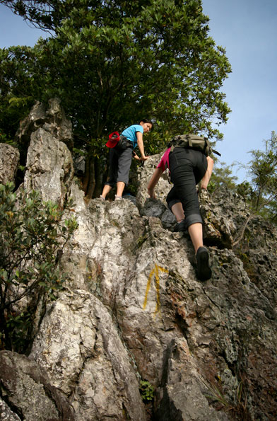
| Pack this along for the hike and you’ll be fine: lots of stamina, grit, alertness and adventurousness. Don’t forget to look out for your hiking partners too… |
|
|
|
|
 |
|
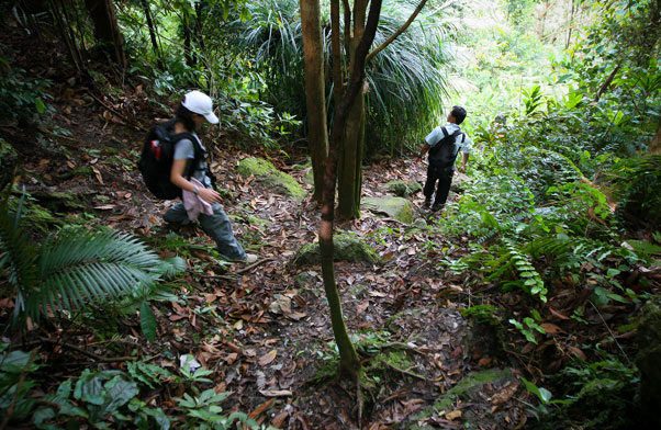
| FINALLY! We were done with the peaks and started heading back to the entrance via a jungle trail at 10.00am. The descent took us 30 minutes or so. |
|
|
|
|
 |
|
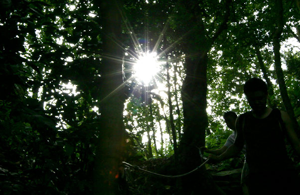
| Seeming’s signature starburst. That ‘starburst’ freak! |
|
|
|
| Panorama |
|
 |
|
While we were all hurrying down the hill, Seeming disappeared behind us for a good 10-15 minutes to
capture this
panoramic view of the city skyline which none of us noticed.
CLICK THE IMAGE FOR FULL VIEW - STITCHING OF 4 IMAGES, 240kb |
|
|
|
| Epilogue |
|
|
| |
We always assume things.
We also tend to think that we know a lot of things. But when the ocassion calls for it, nobody knows anything.
Ghee Beng assumed Ricky knows the way to the trailhead, and Ricky assumed the same of Ghee Beng. On the way there, they realized that both of them only knows half the way, and both their 50% combined didn’t jive! Enter Ricky’s GPRS and Google Map to save the day.
On the way down, we also assumed we can find the way easily, but we took the wrong path at the last stretch and ended up walking a big circle to get back to where we parked our cars… panting like dogs under the scorching sun.
Ghee Beng had hiked the G7 in Malaysia and Poon Hill in Nepal; Seeming had done Annapurna Base Camp; and I trekked the Annapurna Circuit seven months ago. All four of us had done Mount Kinabalu years ago too. We assumed Bukit Tabur is nothing compared to the Himalayas and Mount Kinabalu. We assumed we can manage easily. Itsy-bitsy lah.
How very wrong we were. |
|
|
|
|
|
| |
|
| |